
- News
- World
- Americas
The National Weather Service has issued a stark warning and urging “extreme caution” to those travelling
Sara Cline Sunday 15 February 2026 00:30 GMT- Bookmark
Bookmark popover
Removed from bookmarks
Close popover CloseParade of storms coming for California
The latest headlines from our reporters across the US sent straight to your inbox each weekday
Your briefing on the latest headlines from across the US
Your briefing on the latest headlines from across the US
Email*SIGN UPI would like to be emailed about offers, events and updates from The Independent. Read our Privacy notice
Northern California is under a winter storm watch this holiday weekend, with communities bracing for several feet of snow as people travel.
The National Weather Service has issued a stark warning for those heading to and from the Sierra Nevada and its popular ski resorts, advising of "major travel impacts" and urging "extreme caution."
Despite the impending severe weather, there remains a window for travel ahead of the cold system.
Dakari Anderson, a meteorologist with the National Weather Service in Sacramento, told The Associated Press that Saturday through Sunday morning is expected to be the "best travel window" for those making their way for Presidents Day weekend.
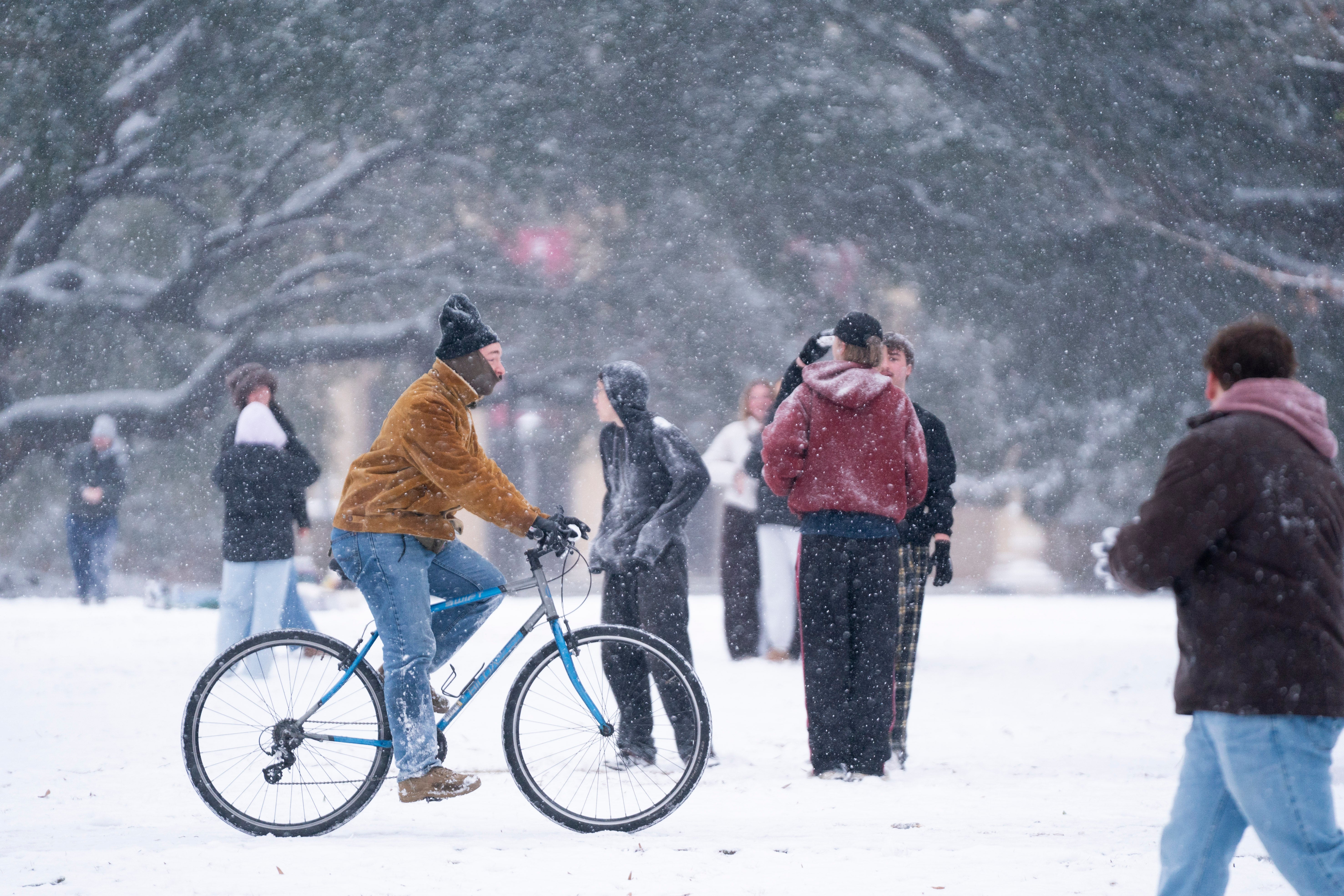 Communities in higher elevations could see much more snow — possibly 6 to 8 feet. (Sean Rayford/Getty Images)
While there was some snow earlier in the week, conditions remained quiet on Saturday, Anderson said. But things are expected to pick up Sunday afternoon — with communities that are situated at elevations of 3,000 to 4,000 feet (914 to 1,219 meters) expecting to be blanketed with between 1 and 2 feet (30 and 60 centimeters) of snow.
“Our highest (snow) accumulations are going to be in those kind of more hard-to-reach places, but we’re still going to see some of those heavier amounts in communities that are populated,” Anderson said.
Communities in higher elevations could see much more snow — possibly 6 to 8 feet (1.8 to 2.4 meters). Among them, Anderson said, may be Blue Canyon, a sparsely populated unincorporated community that sits at 4,695 feet (1,431 meters) of elevation and is about 51 miles (82 kilometers) west of Lake Tahoe.
The City of South Lake Tahoe posted on its Facebook page a warning residents that if they drive on Monday they should “expect delays, possible road closures, and whiteout conditions.”
The Shasta County Sheriff's Office urged residents to take advantage of the clear weather Saturday and prepare for the storm. “It has seemed ‘spring-like’ for a large part of 2026, but winter is set to show it’s not quite done yet,” the agency posted on Facebook.
The winter event is expected to span several days and could also affect portions of western Nevada and southern Oregon.